


La Loube-15-12-21

Christiancordin
User
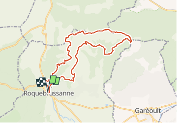

Length
21 km

Max alt
812 m

Uphill gradient
906 m
Km-Effort
33 km

Min alt
361 m

Downhill gradient
910 m
Boucle
Yes
Creation date :
2021-12-15 07:48:22.159
Updated on :
2021-12-18 17:14:41.469
7h18
Difficulty : Difficult

FREE GPS app for hiking
 SityTrail
IGN / Geographical institutes
SityTrail Plus
The world is yours!
About
Trail Walking of 21 km to be discovered at Provence-Alpes-Côte d'Azur, Var, La Roquebrussanne. This trail is proposed by Christiancordin.
Description
La Roquebrussanne-Les Orris-cheminée des Orris-pas Gravet-la Loube-l 'Amarron-vallon des Infernets-jas d'Emilien-chapelle notre Dame.
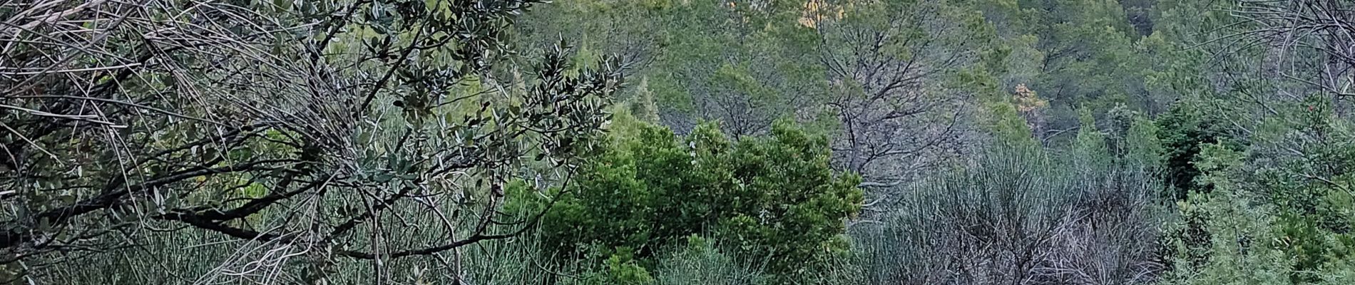
Photos


Positioning
Country:
France
Region :
Provence-Alpes-Côte d'Azur
Department/Province :
Var
Municipality :
La Roquebrussanne
Location:
Unknown
Start:(Dec)
Start:(UTM)
741226 ; 4802775 (31T) N.
Comments